
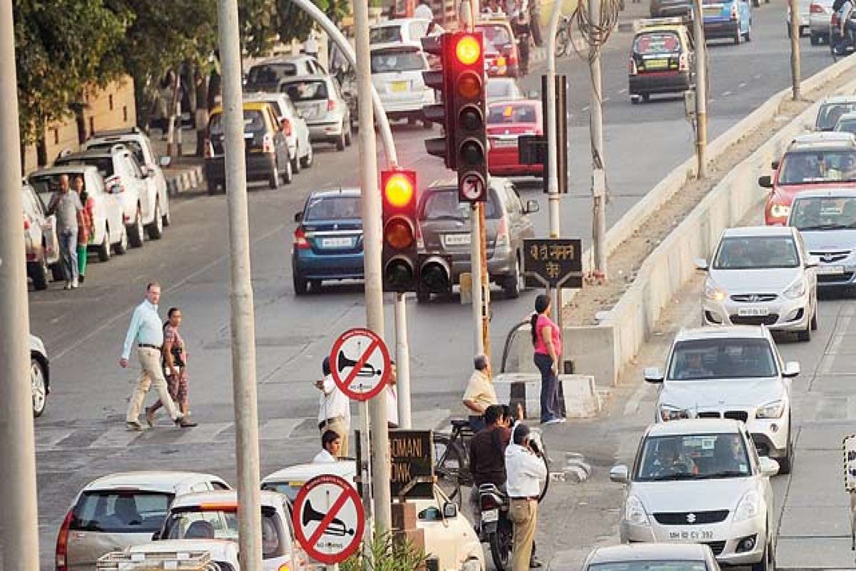
Ahmedabad has taken a major step towards smart traffic management as the Amdavad Municipal Corporation (AMC) launched a pilot project using Google Maps’ advanced traffic intelligence platform, Road Management Insights (RMI). With this move, Ahmedabad has become one of the first cities in India to use live traffic data and AI-based technology for traffic management and future road planning.

Under the project, selected high-traffic roads across the city will receive real-time traffic monitoring. The system will provide live updates on vehicle volume, speed, travel time, sudden braking points, accidents, waterlogging, potholes and road blockages. The data will be generated using anonymised information from millions of Google Maps users.
One of the key highlights of the project is that no additional cameras, sensors or hardware installations will be needed. Instead, Google Maps data will be integrated with the TraffiCure platform and shared with city authorities through dashboards, alerts and planning tools.
The pilot project will cover several major traffic corridors, including SG Highway, Tapovan Circle to RTO Circle, Sardar Patel Ring Road, Parimal Underpass to Golden Triangle, Golden Triangle to Shastri Nagar, Damru Circle to Gujarat High Court, Pakwan Crossroads on 132 Feet Ring Road to Keshav Bagh, Dadhichi Bridge to Delhi Darwaza, Kalupur-Amdupura to Naroda, Airport to Indira Bridge Circle, Geeta Mandir ST Bus Stand to Isanpur, Isanpur to Dhodasar Canal Road and the Narol-Naroda Highway BRTS route.
According to AMC officials, the system will help identify traffic congestion hotspots and understand the reasons behind recurring jams. Authorities will be able to analyse whether traffic issues are caused by faulty signal timings, waterlogging, heavy traffic load, accidents or other problems.
The project is also expected to strengthen traffic police operations. Through live alerts on the TraffiCure dashboard, police teams can be deployed immediately to affected locations for faster traffic management and quicker response times.
In addition, AI and machine learning-based simulation technology will be used for future traffic and road planning. Authorities will be able to digitally test the impact of proposed flyovers, road closures and signal changes before implementation, helping improve planning and reduce costs.
Road safety is another major focus area. Data on sudden braking points and accident trends will help identify accident-prone locations, allowing authorities to improve signage, road markings, traffic signals and road design.
After the pilot phase, officials expect to prepare a detailed list of major traffic congestion and accident hotspots. The system is also expected to help authorities take real-time decisions and reduce travel delays on busy routes.
If the project succeeds, the model may be expanded across Ahmedabad and could serve as a model for other Indian cities looking to adopt data-driven traffic management systems.
Officials said the initiative marks a shift from traditional complaint-based traffic management to a smarter and technology-driven system, positioning Ahmedabad as a leading smart mobility city in India.