
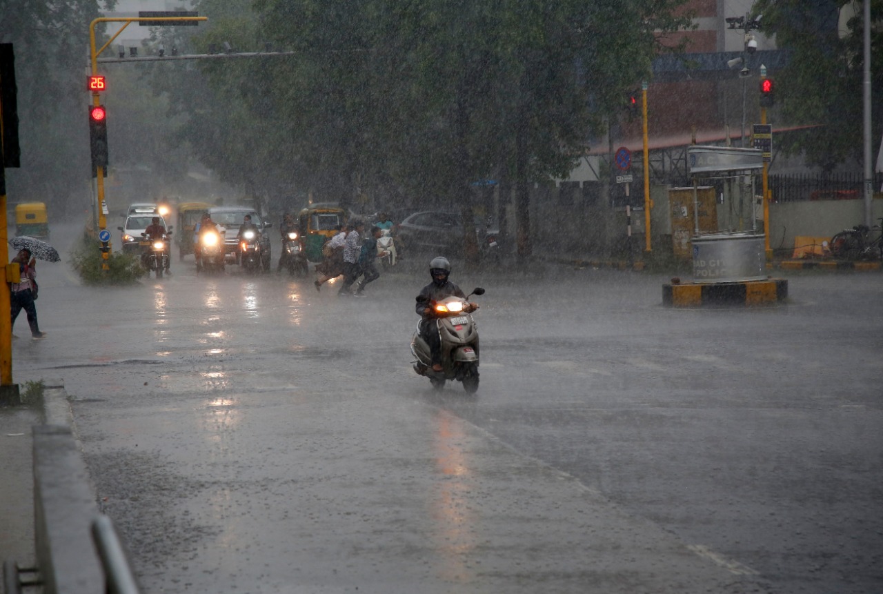
Gujarat is set to witness more rainfall in the coming days as a depression over the east-central Arabian Sea remains nearly stationary.

According to the India Meteorological Department (IMD), the system—located about 400 km southwest of Veraval on Thursday—is likely to move north-northwest over the next 36 hours. Moisture from this system will continue to feed into the state, bringing rain, thunderstorms, and winds reaching up to 40 kmph across several districts.
In Ahmedabad, light to moderate rain and thundershowers are expected. On Thursday, the city recorded a maximum temperature of 25.5°C, 9.4°C below normal, and a minimum of 24.5°C, 5.4°C above normal. Between 6 am and 8 pm, scattered showers were recorded, with heavier spells in northern and western parts. Ognaj and Hanspura received 11.5 mm each, Naroda 9 mm, while Chakudiya and Nikol in the East Zone saw up to 5.5 mm. In western Ahmedabad, Bodakdev, Science City, Gota, and Thaltej recorded 4.5–7 mm of rainfall, while Sarkhej, Jodhpur, and Maninagar saw negligible rain. The citywide average stood at 3.49 mm.
At Vasna Barrage, the water level reached 136.25 feet, prompting authorities to release around 1,644 cusecs of water into the Sabarmati River. Residents in downstream areas have been advised to stay alert and follow safety guidelines.
Rainfall was also reported across parts of South Gujarat, Saurashtra, and isolated pockets in North Gujarat and Kutch. Heavy showers are expected at isolated places in Vadodara, Bharuch, Surat, Dangs, Navsari, Valsad, and parts of Saurashtra and Diu. Fishermen have been warned against venturing into the sea due to rough conditions.
So far, Gujarat has received 125.31% of its normal monsoon rainfall. In the past 24 hours, Mahuva (Bhavnagar) recorded the highest rainfall at 3.19 inches, followed by Hansot (2.48 inches), Talaja (2.44 inches), Subir in Dang (2.32 inches), and Mahuva (Surat) with 2.20 inches.
Dam levels remain high, with the Sardar Sarovar Dam at full capacity and 206 reservoirs about 97% full. Over 150 dams are currently on high alert, while NDRF and SDRF teams remain deployed in vulnerable regions as authorities closely monitor low-lying and catchment areas.