The India Meteorological Department (IMD) has forecast further advancement of the southwest monsoon. Within the next 24 hours, it is expected to reach parts of Gujarat, Vidarbha, Chhattisgarh, and Odisha. Over the next three days, it may spread to West Bengal, Jharkhand, Bihar, and eastern Uttar Pradesh.


So far, the monsoon, critical for the kharif crop season, has covered the southern and northeastern states, as well as parts of Maharashtra and Chhattisgarh.
Meanwhile, residents of northwest India may get some relief from the extreme heat. IMD expects a 3 to 5°C drop in maximum temperatures across the region in the next 24 hours. Central India will see a smaller decline over five days. On Saturday, Churu in Rajasthan recorded 46.5°C, with other areas like East UP, Punjab, Haryana, and Bihar facing similar heat.
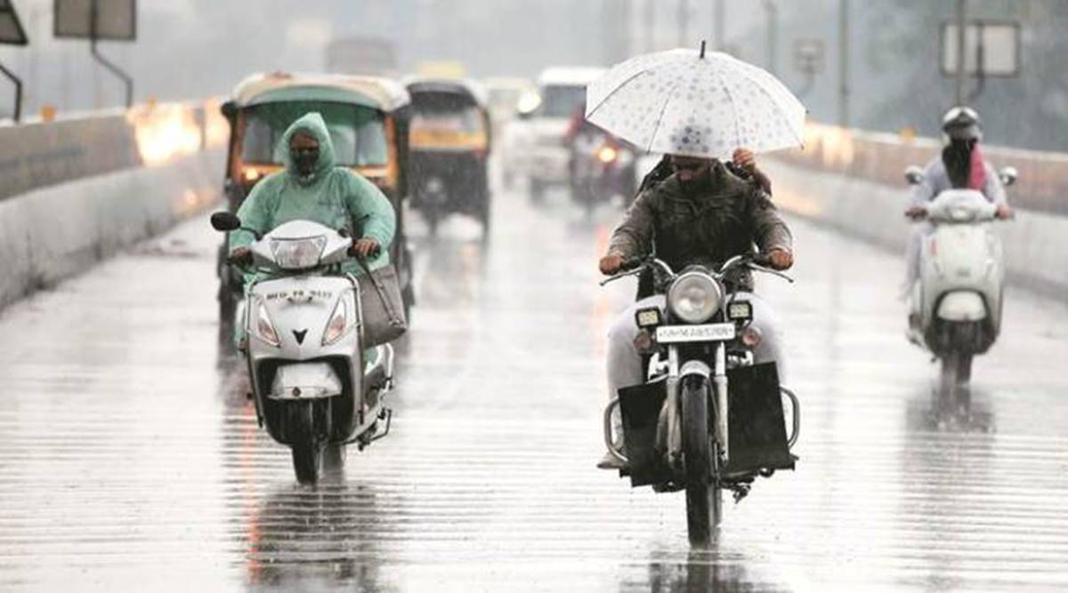
Fishermen have been advised not to venture into the sea from 15 to 20 June due to rough weather in the Arabian Sea and nearby coastal areas. High winds and heavy rain are expected near the coasts of Somalia, Oman, Kerala, Gujarat, Lakshadweep, and the Maldives.
Rainfall is likely across Gujarat between 15 and 17 June, with thunderstorms and gusty winds. Between 15 and 21 June, heavy to very heavy showers may hit Konkan, Goa, Madhya Maharashtra, Saurashtra, and Kutch, with some areas expecting over 20 cm in 24 hours.
Eastern and central India—including Madhya Pradesh, Chhattisgarh, Bihar, Jharkhand, Odisha, and the Andaman Islands—will see widespread showers through the week. Thunderstorms and squalls are likely in several regions.
Parts of northwest India, Uttarakhand, Punjab, Haryana, and Rajasthan, are also expected to receive rain, with isolated heavy rainfall possible in Haryana and western UP.